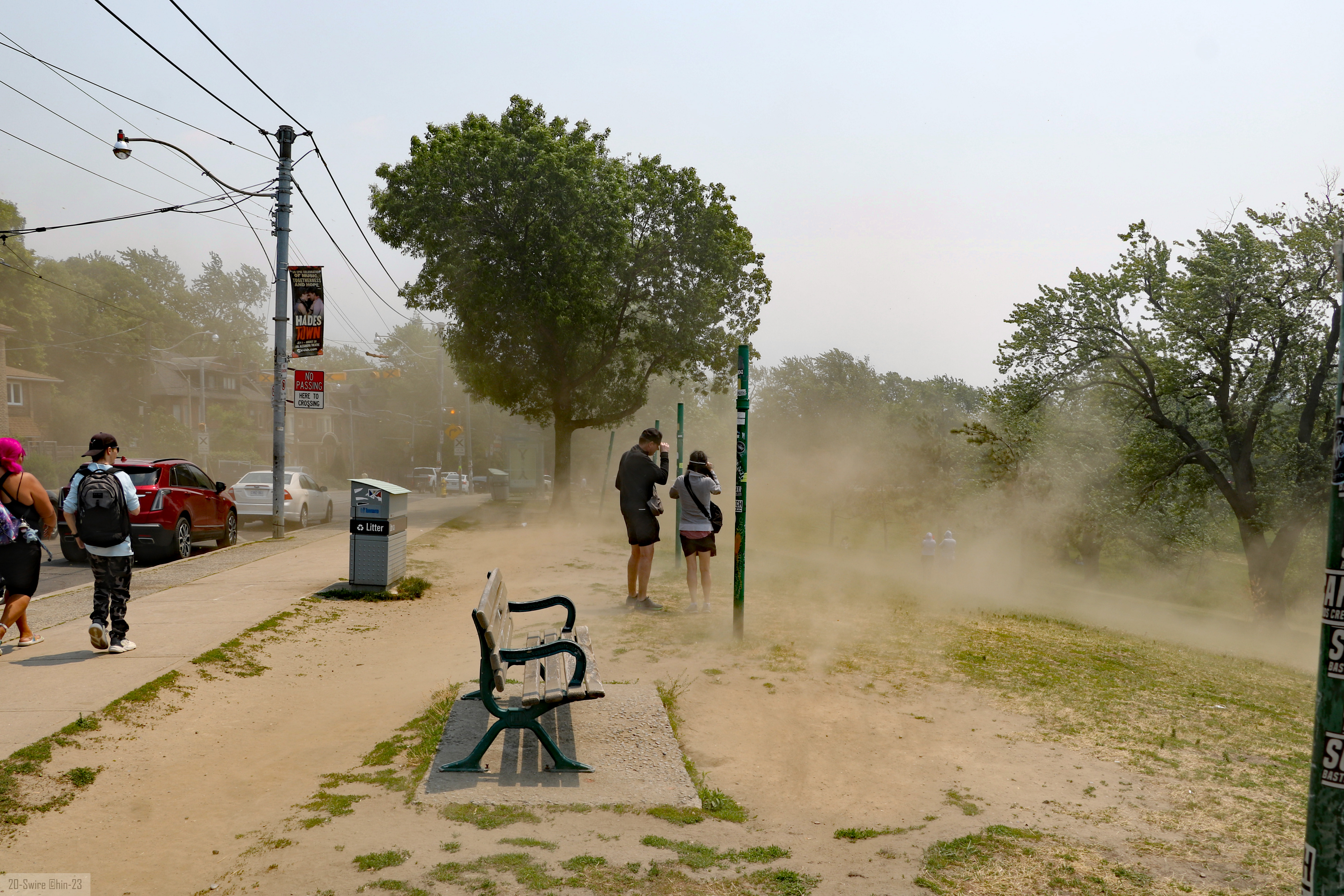
Bethesda and Chevy Chase residents face a dangerous combination of extreme heat and wildfire smoke through at least Friday, with the Maryland Department of the Environment forecasting Code Red air quality statewide that day.
Montgomery County is under a Code Orange air quality alert as of Thursday, meaning conditions are unhealthy for sensitive groups. A Heat Advisory from the National Weather Service remains in effect through 8 p.m. Thursday, with heat index values expected to reach 105 degrees.
The smoke is drifting south from more than 180 active wildfires burning in northern Ontario, Canada. NASA reported that as of Monday, July 14, fires across Canada had burned 4.7 million acres since the start of the year, with nearly 850 fires actively burning nationwide.
Friday will be worse
The Maryland Department of the Environment is forecasting Code Red air quality statewide on Friday. That means the air will be unhealthy for everyone to breathe, not just sensitive groups.
A weak cold front will push additional wildfire smoke into Maryland on Friday, and light, recirculating winds are expected to trap it in place all day. Temperatures will drop slightly to the low-to-mid 90s, according to CBS Baltimore forecasters, but the air quality tradeoff makes Friday the more dangerous day for outdoor exposure.
Who is most at risk
Children, older adults, pregnant people, and anyone with pre-existing heart or lung conditions face the highest risk from both the heat and the smoke. Fine particulate matter (PM2.5) from wildfire smoke can penetrate deep into the lungs and bloodstream, triggering inflammation and worsening asthma.
Montgomery County Health and Human Services is asking residents to check on older adults, people who live alone, and anyone with medical conditions.
The danger compounds over multiple days. During a June 30 briefing on a prior heat event, Montgomery County Chief Health Officer Dr. Kisha Davis explained why overnight temperatures in the high 70s to 80s are so dangerous: "Our bodies won't have the chance to cool down naturally," she said. That same pattern applies to the current stretch.
What residents should do
Thursday: Limit strenuous outdoor activity during peak heat hours. Stay in air-conditioned spaces. Drink water before feeling thirsty. Electric fans will not prevent heat illness when temperatures reach the upper 90s, according to Montgomery County's emergency management guidance.
Friday: Avoid prolonged outdoor activity entirely if possible. If you must go outside, wear a well-fitting N95 or KN95 mask to reduce exposure to fine smoke particles. Keep windows closed and run air conditioning or an air purifier.
Saturday: Rain chances increase, which could wash some smoke from the atmosphere and reduce ozone levels. However, it remains uncertain whether Saturday's rainfall will be sufficient to end the air quality event, according to MDE guidance reported by local outlets. Severe thunderstorms are also possible Saturday, according to CBS Baltimore forecasters.
Residents can check real-time air quality for their ZIP code at AirNow.gov.
Emergency resources
Signs of heatstroke include confusion, a rapid pulse, hot or red skin, or loss of consciousness. Call 911 immediately if these symptoms appear.
County cooling locations, including libraries, recreation centers, and senior centers, are available during normal business hours. Residents can confirm which facilities are open by visiting montgomerycountymd.gov/heat or calling 311.
To report heat-related concerns about unsheltered individuals, call 240-907-2688. For concerns about pets or to reach Montgomery County Police non-emergency, call 301-279-8000.